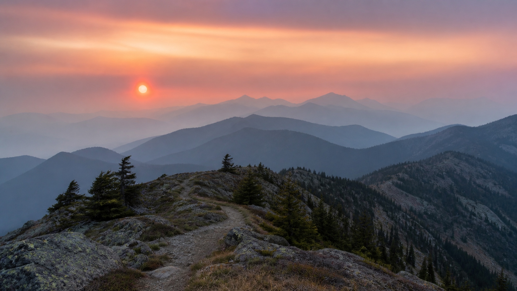
Air quality and wildfire smoke planning for hiking in Canada
How to check air quality before hiking in Canada: reading the AQHI, using FireSmoke.ca smoke maps, planning around wind and rain, and what to pack for smoke.
How this guide was built
Prices shown are tracked in real time across 18+ outdoor retailers including US and Canadian stores. We monitor sale pages, clearance sections, and seasonal promotions automatically.
Gear lists are curated by our team based on current deals, not paid placements. We select items that offer genuine value — real discounts on quality gear from established brands. Prices update as retailers change them.
Seasonal patterns described in this guide are based on historical pricing data we've tracked across multiple clearance cycles.
Wildfire smoke has become a normal part of the Canadian hiking season, and a trip that looks perfect on the weather forecast can be miserable, or unhealthy, under the wrong plume. The good news: Canada has excellent free tools for checking and forecasting air quality. This guide covers how to read the AQHI, how to use FireSmoke.ca's smoke maps, how wind and rain change the picture, and what to carry in case conditions deteriorate mid-trip.
The five-minute air quality check before any trip
Before we go deep, here is the short version. It is a routine worth running the night before you leave and again the morning of:
- Check the AQHI conditions and forecast for the community nearest your trailhead on weather.gc.ca or the WeatherCAN app.
- Play the FireSmoke.ca forecast animation for the next 48 hours and watch what crosses your area.
- Scan the weather forecast for wind direction (relative to active fires) and any real rain.
- Check the provincial wildfire dashboard and park advisories for active fires, closures, and fire bans where you are headed.
If the AQHI is forecast to stay Low and the smoke map is clear upwind of you, go enjoy your trip. If either looks questionable, the rest of this guide will help you decide whether to go, adjust, or reschedule.
Understanding the AQHI (Air Quality Health Index)
The Air Quality Health Index is Canada's official scale for communicating the health risk of outdoor air. It runs from 1 to 10, with a special "10+" category for extreme events, and it is built from the three pollutants most linked to health effects: fine particulate matter (PM2.5), ground-level ozone, and nitrogen dioxide. During wildfire smoke events, the index is driven by hourly PM2.5 readings, so it responds quickly when smoke arrives, which is exactly what you want as a hiker.
How to interpret the numbers
| AQHI | Risk | What it means for your hike |
|---|---|---|
| 1–3 | Low | Ideal conditions. Enjoy your usual outdoor activities, including strenuous objectives. |
| 4–6 | Moderate | Most healthy hikers can carry on, but consider easing the pace if you develop coughing or throat irritation. At-risk hikers should consider reducing or rescheduling strenuous plans if symptoms appear. |
| 7–10 | High | Everyone should consider reducing or rescheduling strenuous activity, especially with symptoms. At-risk hikers should reduce or reschedule. A big-mileage day or a hard climb is a poor choice here. |
| 10+ | Very High | Reduce or reschedule strenuous outdoor activity; at-risk hikers should avoid it entirely. This is a "change the plan" number, not a "push through it" number. |
"At risk" means children, adults over 65, pregnant people, and anyone with a heart or lung condition such as asthma or COPD. Be honest with yourself about your group: a trail run at AQHI 5 is a very different exposure than a flat stroll, because harder breathing pulls more fine particulate deeper into your lungs. Exertion level is the variable you control.
Where to check the AQHI
Environment and Climate Change Canada publishes AQHI conditions and forecasts for hundreds of communities at weather.gc.ca. Forecasts are issued twice daily and cover today, tonight, and tomorrow, so the evening forecast is your best planning input the night before a trip. The free WeatherCAN app shows the same data and can push AQHI notifications for saved locations, worth setting up for the community nearest your favourite trailheads. Pick the forecast location closest to (and ideally in the same valley system as) where you are actually hiking; air quality can differ sharply between a city and a mountain valley 80 km away.
Also watch for special air quality statements and smoke warnings on the same pages. These are issued when smoke is expected to push air quality into the high-risk range, and they often arrive before the numbers themselves climb.
FireSmoke.ca: the smoke forecast map
The AQHI tells you what the air is doing at monitoring stations; FireSmoke.ca tells you where the smoke itself is going. Run by the BlueSky Canada project at the University of British Columbia, it models smoke from detected wildfires across North America and produces an animated, hour-by-hour forecast map of ground-level PM2.5 concentrations roughly two days out, updated several times a day during fire season.
How to read it for trip planning
Load the current forecast, find your trailhead, and press play. You are looking for three things. First, timing: does a plume cross your area during your trip window, and when does it arrive and leave? Smoke that clears by Saturday morning is a non-issue for a Saturday start. Second, intensity: the colour scale is in micrograms of PM2.5 per cubic metre; pale wisps in the single digits are hazy skies, while deep oranges and reds are the kind of air you can taste. Third, the source direction: note which fires are feeding the plume, because that tells you which wind directions are bad news for your location all week.
Know its limits
FireSmoke is a research forecast, not a guarantee. Fires are detected by satellite, so a fire that starts after the last satellite pass, or burns under heavy cloud, may not appear in the model until the next day. It models wildfire PM2.5 only, and forecast skill drops the further out you look. Treat it as your best picture of the next 24 to 48 hours, re-check before you leave cell coverage, and let the AQHI and your own eyes be the final word on the ground.
Cross-checks worth bookmarking
Environment and Climate Change Canada runs its own smoke prediction model, FireWork, with national smoke forecast maps published alongside the regular weather products. When FireSmoke and FireWork agree, you can plan with reasonable confidence; when they disagree, assume the smokier outcome is possible and build in flexibility. Round out the picture with your provincial wildfire service: the BC Wildfire Service and Alberta Wildfire dashboards and apps show active fire perimeters, fire danger ratings, and area restrictions, and every province and Parks Canada publish equivalents. Knowing exactly where the nearest active fires are turns every wind forecast for the rest of your trip into useful information.
Judging smoke by eye
On the ground, your eyes are a legitimate instrument. If distant ridgelines look soft and blue-grey but the sky overhead is still blue, smoke is present but likely aloft or thin. If you can smell smoke, it has reached the surface around you. When landmarks a few kilometres away lose their detail, PM2.5 is climbing into the range where you should ease off; when nearby hillsides fade, treat it as High-risk air regardless of what the last forecast said. Falling ash means the fire is close enough that this is no longer an air-quality question. Start thinking about your exit.
Wind and rain: the levers that move smoke
Smoke forecasts are really wind forecasts wearing a costume. Once you know where the active fires are, an ordinary weather forecast tells you most of what you need.
Prevailing and forecast winds
Across most of Canada, upper-level flow moves west to east, which is why B.C. and Yukon fires can smoke out Alberta and Saskatchewan, and northern Ontario and Quebec fires can reach the St. Lawrence corridor. But the wind that matters for your weekend is the forecast wind, not the average. Check the direction in the ECCC forecast for your area and ask one question: is my trailhead downwind of active fires? A northwest wind with fires to your northwest is a red flag even if today's air is clear; the same wind with fires to your south means you will likely stay clean. A shift in wind direction is the single most common reason air quality changes overnight.
Fronts and wind shifts
Cold fronts are the great resetters of smoke season. The gusty wind shift behind a front can flush days of accumulated smoke out of a region in hours, or drag a distant plume straight into it. When a front is forecast mid-trip, look at the FireSmoke animation for the hours after frontal passage rather than assuming relief. Strong wind is also what pushes fire growth, so fresh smoke often follows a windy day even when that wind initially cleared your sky.
Rain and washout
Sustained rain physically scrubs fine particulate from the air and suppresses fire behaviour at the source. A day of steady regional rain is the most reliable air-cleaning event there is. Scattered showers and drizzle, by contrast, do surprisingly little. When the forecast shows a genuine soaking a day or two before your start date, air quality usually improves noticeably behind it; a 30% chance of afternoon showers should not change your smoke expectations at all.
Valleys, inversions, and time of day
In the mountains, smoke has a daily rhythm. Overnight, cool air sinks and forms an inversion that traps smoke in valley bottoms, so valleys are often at their thickest at dawn, exactly when hikers like to start. Daytime heating breaks the inversion and mixes the air, which can thin valley smoke or, unhelpfully, pull high-altitude smoke down to the surface. Two practical takeaways: a smoky morning at the trailhead does not always mean a smoky afternoon on the ridge, and a high camp frequently sits above the worst of the overnight pool. If air quality is marginal, favour high, breezy routes over deep, enclosed valleys, and expect readings to swing through the day.
Go, adjust, or bail: a simple decision framework
Pulling it together, here is how we make the call. If the AQHI is forecast Low with a clean smoke map upwind, go as planned. If it is Moderate, or the smoke map shows a marginal plume, go but adjust: shorten the route, drop the intensity, pick higher or windward terrain, build in bail-out points, and agree in advance on what symptom or sky condition turns you around. If the AQHI is forecast High or worse for your window, or FireSmoke shows a heavy plume parked over your route, reschedule. Smoke trips are rarely the trips anyone remembers fondly, and the mountains will still be there next weekend. For multi-day trips, weight the forecast for your deepest, most-committed day, not your start day, and remember that beyond 48 hours the smoke picture can change completely.
Hiking with kids when smoke is in the forecast
Children are named in every AQHI at-risk message for good reason: they breathe more air for their body weight than adults, their lungs and airways are still developing, and they rarely notice or report symptoms until they are already uncomfortable. A day that feels merely hazy to you is a bigger dose for the kid keeping pace beside you, and an even bigger one for the toddler working hard in a carrier or running laps around camp.
The practical adjustment is simple: shift every threshold in this guide down one category when kids are along. Treat a Moderate (4–6) forecast the way you would treat High on an adults-only trip: shorter objectives, easier pace, more breaks. Treat High as a reschedule. Respirators are not a workaround here: N95s are not certified or sized for young children, and a leaky fit provides little real protection, so avoiding the exposure is the plan rather than filtering it. Watch for coughing, unusual fatigue, or crankiness as your early signals, keep smoky-day plans close to the trailhead, and save the committed backcountry days for a clean forecast. Kids have short memories for cancelled trips and long ones for miserable smoky slogs.
Gear for when the smoke finds you anyway
Forecasts fail, fires start mid-trip, and winds shift. On any fire-season backpacking trip, a few grams of preparation covers the scenario where air quality deteriorates while you are two days from the car.
- A real respirator, not a buff. A NIOSH-rated N95 (or P100 for higher filtration) is the only lightweight item that meaningfully cuts PM2.5 inhalation. Cloth buffs, bandanas, and surgical masks do essentially nothing against smoke particles. Fit is everything: it must seal against bare skin, and hiking in one is hot, sweaty work. That is a reason to slow down, not to skip it. One per person, stored in a zip bag; they weigh almost nothing.
- Eye protection and lubricating drops. Smoke irritation to the eyes builds over hours. Close-fitting sunglasses or goggles help, and single-use saline or lubricating drops earn their spot in the first-aid kit.
- Personal medications. Anyone with asthma or another respiratory condition should carry their rescue inhaler even on clear-forecast trips, plus a plan discussed with the group.
- Extra water and electrolytes. Smoke irritates airways more when you are dehydrated, and smoky days are often hot, stagnant ones. Plan water stops more generously than usual.
- A satellite communicator. Smoke events and wildfires travel together. A two-way satellite messenger lets you check updated fire locations, closures, and AQHI conditions from the backcountry, and matters far more than usual during fire season. Offline maps with pre-marked bail-out routes complete the kit.
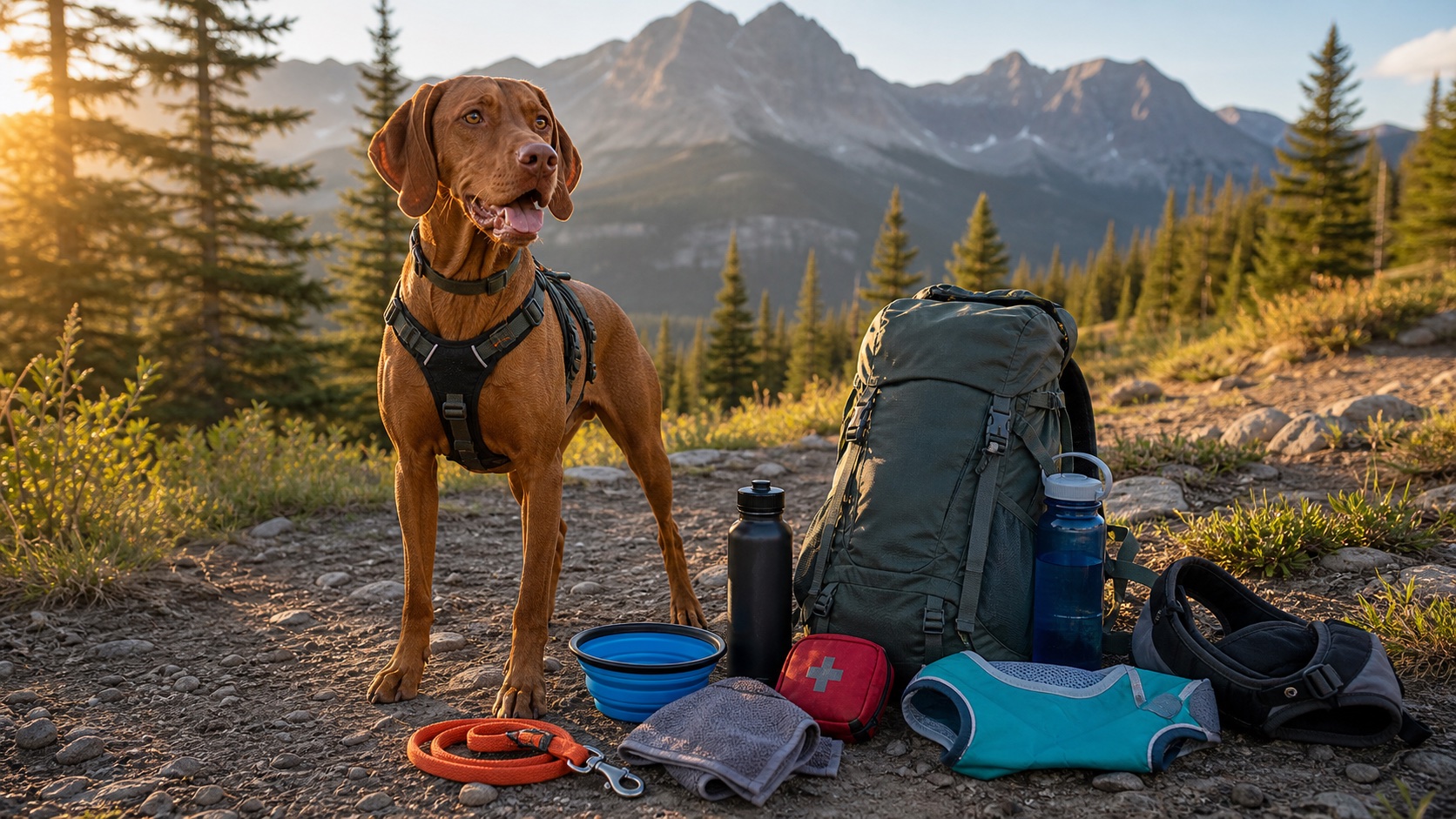
- A plan for your dog. Dogs breathe the same smoke, faster, closer to the ground, and without complaining until it is bad. There is no practical respirator for a dog, so on marginal days the kindest call is shorter, easier outings; on smoky ones, leaving them home. Our backpacking with dogs guide covers the rest of hot-season dog care.
- An honest turnaround plan. Not gear, but pack it anyway. Agree before you leave on what triggers retreat: visible flame or a growing column, ash fall, a smoke warning received by satellite, or anyone developing chest tightness, wheezing, or a cough that will not settle.
If you are caught in genuinely bad air, drop your exertion to the minimum, put respirators on, and move toward cleaner air, usually crosswind or upwind of the plume, and often higher, out of a smoke-filled valley. A tent is not sealed, but limiting hard exercise, camping away from valley-bottom smoke pools, and waiting out the worst overnight hours is a reasonable strategy when the exit is long. Visible fire behaviour is a different problem entirely: that is an evacuation, not an air-quality decision, and it goes toward your nearest exit immediately.
Build the habit
Air quality planning takes five minutes once you know where to look: AQHI forecast for the nearest community, FireSmoke.ca for the plume picture, wind direction against known fires, and rain prospects for relief. Do it the night before, again at breakfast, and once more before you lose signal. It is the same discipline as checking avalanche bulletins in winter: routine once built, and occasionally the reason a trip gets better instead of worse. For the rest of your pre-trip checklist, start with our beginner backpacking checklist for Canada.
Frequently asked questions
What AQHI level is safe for hiking?
AQHI 1–3 is ideal for anything. At 4–6, healthy hikers can generally carry on while watching for symptoms; at-risk hikers should consider easing off. At 7–10, everyone should consider scaling back strenuous plans, and above 10, postpone them. Remember that exertion multiplies exposure: the harder you breathe, the more the number matters.
Does a buff or bandana protect against wildfire smoke?
No. The particles in wildfire smoke are far too fine for cloth to stop. Only a well-fitted N95-or-better respirator meaningfully reduces what you inhale.
Does rain clear wildfire smoke?
Sustained, widespread rain does; light showers mostly do not. The wind shift that comes with a front often matters as much as the rain itself.
Is smoke worse in valleys or on ridges?
Usually worst in valley bottoms overnight and at dawn, when inversions trap it. Ridges and high camps often sit above the pool, though daytime mixing can move smoke in either direction.
Is it safe to hike with kids when it's smoky?
Kids are an official at-risk group, so shift every threshold down a category: treat Moderate as High and reschedule at High. N95s aren't made or certified for young children, so on smoky days the plan is avoiding exposure, not masking through it.
How far ahead can I trust a smoke forecast?
FireSmoke.ca looks about 48 hours out and ECCC's AQHI forecast covers today, tonight, and tomorrow. Beyond that, treat any outlook as a rough guide and re-check daily as your trip approaches.
See a deal you like? Set a target price.
We'll watch it across 18+ retailers and email you when it drops.
Track a price on any product
Explore More Guides
Shop Related Deals
Get notified about new guides
We publish gear guides, deal calendars, and buying strategies. Get them in your inbox — no spam, unsubscribe anytime.
Sent by backpacker.ca · backpacker.ca